Baku · Azerbaijan
GIS and expert reports
Developers
Architects and designers
Landowners
Private clients
Before design starts, we study the site on a scientific basis: terrain, soil, water and landscape. You get clear maps and an expert opinion to base decisions on.

What we do
Each service can be ordered on its own or as part of a construction project.
01
GIS site analysis
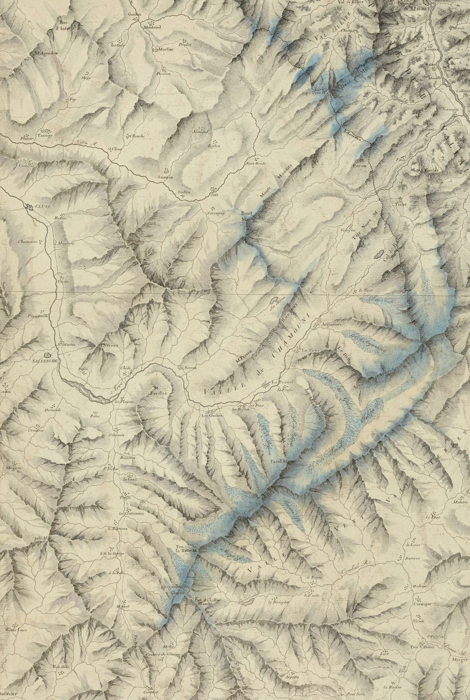
We build a digital model of the site from satellite imagery, drone surveys and open data.
• Terrain, slope and aspect
• Drainage and flood risk
• Surrounding infrastructure and constraints
Result: thematic site maps and a risk assessment.

02
Soil analysis
We take samples on site and study the properties of the soil.
• Soil type and structure
• Chemical and physical properties
• Suitability for building and planting
Result: analysis results and recommendations.

03
Landscape planning
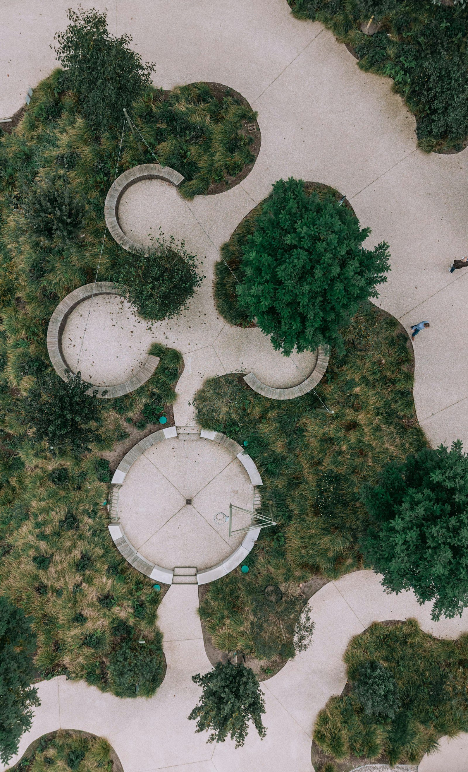
We design planting and site layout around the natural features of the land.
• Functional zoning
• Plant selection and irrigation
• Paths, plazas and leisure areas
Result: a landscape plan and implementation guidance.

04
Expert reports
We provide independent expert opinions on land use, environmental condition and site development.
- Environmental condition of the site
- Land-use efficiency
- Pre-investment assessment
Result: a well-founded expert opinion.
A scientific approach
Our GIS work is led by a specialist with many years of research and teaching experience. Every conclusion rests on a methodology and verifiable data.
Scientific methodology
Analysis based on established research methods.
- Field research: sampling and on-site observation.
Modern GIS software
Spatial analysis and modelling in professional tools.
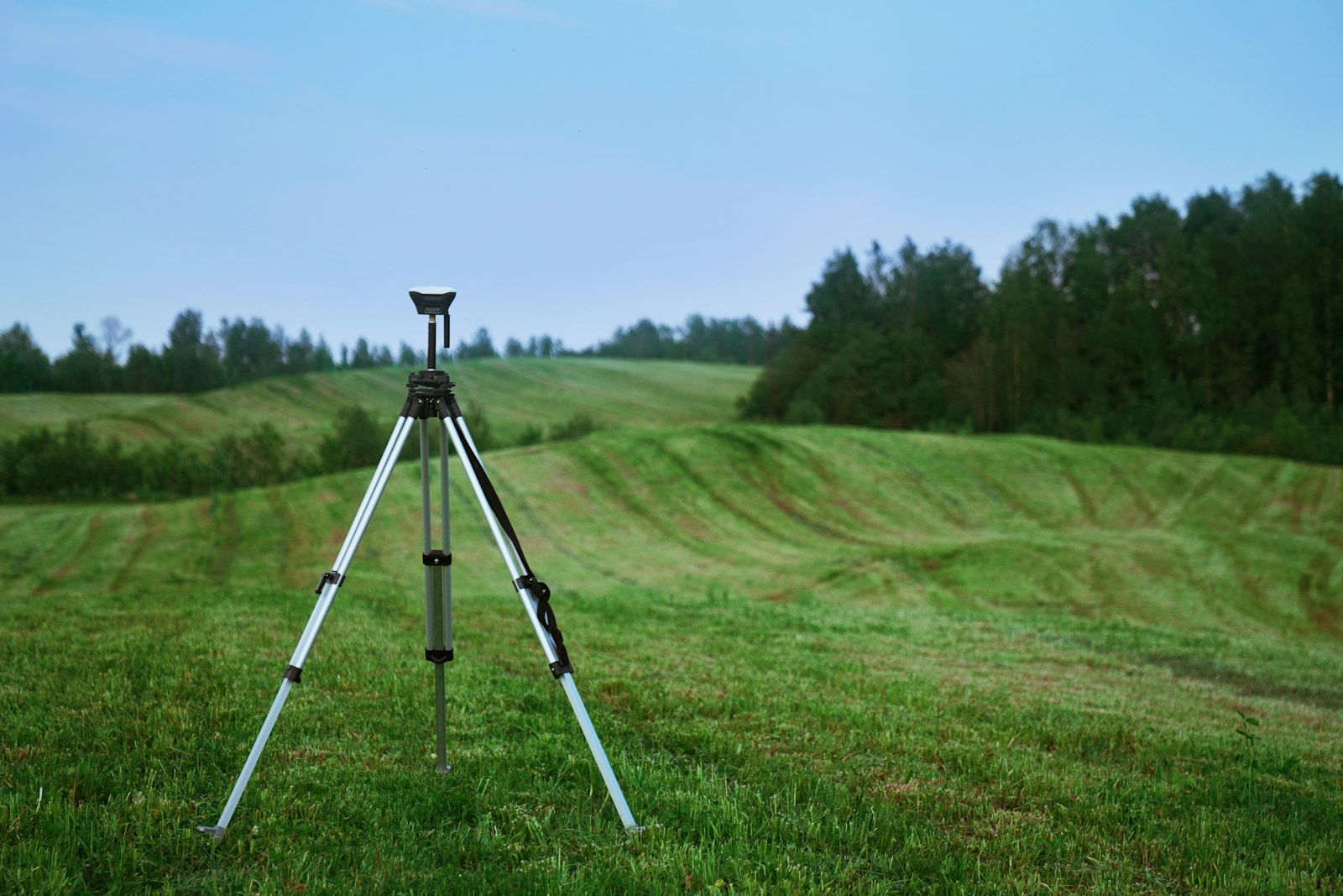
- Satellite and drone data: up-to-date, accurate imagery of the site.


How we work
01 · Brief
We define the goal, the site boundary and the result you need.
02 · Data collection
Satellite imagery, drone survey, field measurements and soil samples.
03 · Analysis
Analysis based on GIS models, lab results and a scientific methodology.
04 · Report
A final report with maps, findings and practical recommendations.
What you get
Thematic maps, soil analysis results, a landscape plan (on request), an expert opinion with recommendations, a PDF report and GIS/CAD files for designers.
Linked to your construction project
GIS results feed straight into design and structural calculations.
GIS AND EXPERT REPORTS
Who it is for


24-month warranty
40% advance
After a site visit
We guarantee the work we deliver
The rest is paid as the work progresses
Timeline and cost are set once we have seen the site
Let's discuss your project
Fill in the form or call directly — Zaur Jafarov will reply personally.
+994 50 202 20 41
zaur.j@nazarr.az
18/10 E. Babayev St, AZ1156, Baku